cartesiancs / map3d
← 返回首页
🗺️ Generate City 3D map with R3F. Include building and road information.
📄 仓库 README
在 GitHub 查看 ↗来自 GitHub 仓库自述文件 · 版权归原作者所有
🗺️ map3d
Generate a real world 3D map
About The Project
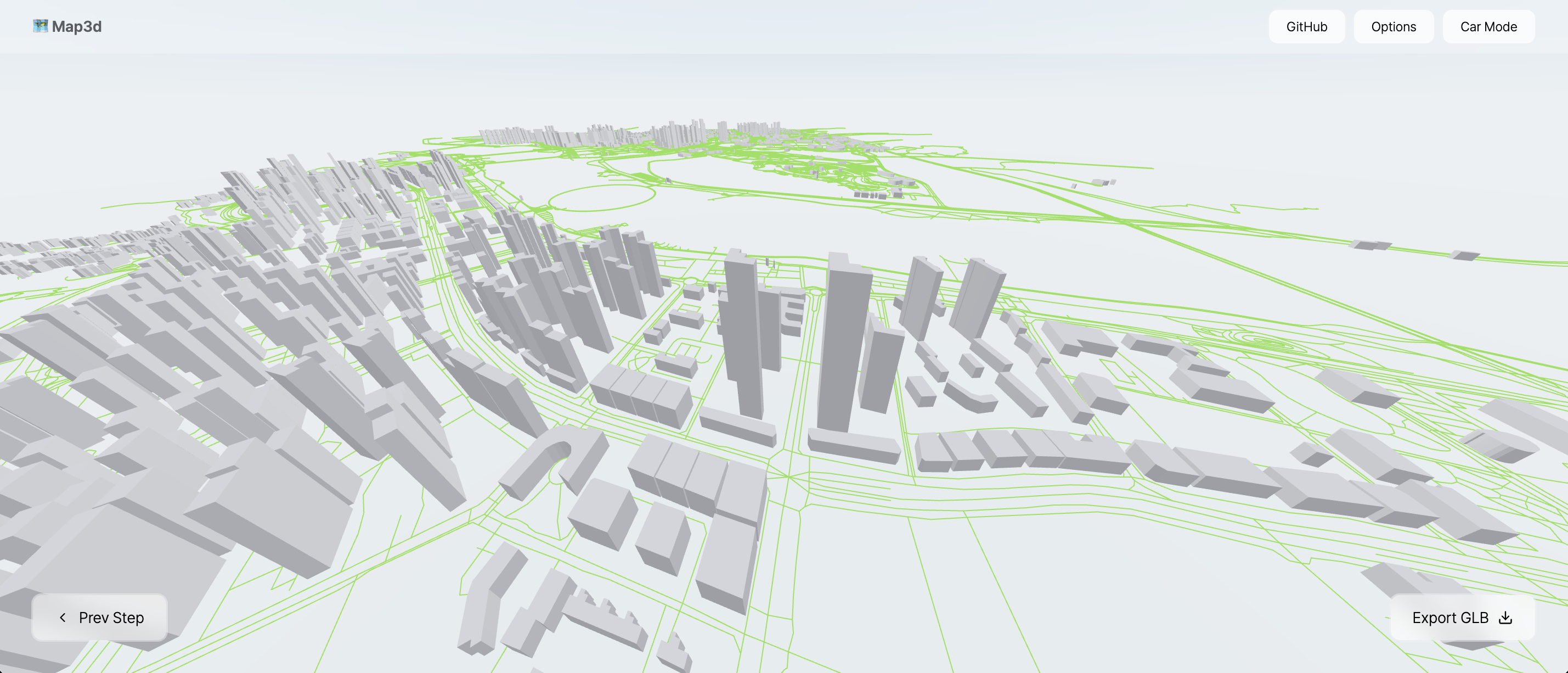
This is a 3D building mapping service implemented with React-Three-Fiber. It allows exporting as a GLB file, and all features are free to use. Based on this project, various functionalities such as digital twin, drone surveying, and GPS markers can be implemented.
The map files are based on OpenStreetMap data.
[!IMPORTANT] 📢 This project cannot guarantee the accuracy of the data. Since it uses OpenStreetMap data, some height values may be missing or incorrectly recorded. To address this issue, an option will be added in the future to allow users to manually correct the data.
Roadmap
- [x] Create 3D Buildings
- [x] Create Roads
- [x] Export GLB
- [ ] Building Texture
- [ ] Height Customization
- [ ] Material
- [ ] Heightmap
Demo
https://github.com/user-attachments/assets/1b61c2f8-dcf9-40bb-9804-59f6a74594dc
Contributors
Hyeong Jun Huh (GitHub)
License
MIT License
📈 近 7 天 Star 趋势
每日新增 Star(柱)与累计 Star(线)· 数据来自 GitHub
🏆 排名变化趋势
在各榜单中的排名历史(数字越小越靠前)
📋 历史上榜记录
每次快照的详细数据
| 日期 | 榜单 | 排名 | 周期新增 | 总 STAR |
|---|